The ground beneath Whitby changes character faster than most engineers expect. Drive ten minutes north from the lakefront bluffs near Lynde Shores into the drumlin fields around Brooklin, and you've transitioned from soft glaciolacustrine silts to dense Halton Till sitting on Georgian Bay shale. That shift matters when you're trying to assign an NBCC seismic site class. A borehole alone won't give you the continuous velocity profile you need across those transitions. We run MASW surveys that capture the VS30 profile from surface to thirty meters, mapping exactly where the shear wave velocity jumps at the till-shale interface. For sites near the Lake Iroquois strandline where buried sand lenses complicate the stratigraphy, the seismic refraction method sometimes gets layered in to resolve velocity inversions that MASW alone might smooth over.
MASW doesn't just assign a site class. In Whitby's drumlinized till plain, it maps the three-dimensional velocity structure that controls how ground motions amplify.
Technical details of the service in Whitby
Typical technical challenges in Whitby
Whitby sits at roughly 91 meters elevation on the Iroquois Plain, with the seismicity of the Western Quebec Seismic Zone influencing the regional hazard. The 2015 NBCC seismic hazard model raised spectral acceleration values across southern Ontario, and municipalities now enforce stricter site classification requirements before issuing building permits for essential facilities and mid-rise structures. The biggest risk on a Whitby project isn't the shale bedrock—it's the overconsolidated till. When the till is fractured or contains gravel lenses, the shear wave velocity can drop locally by twenty percent, and a default Class C assumption becomes unconservative. A single MASW line across the building footprint catches those lateral variations before the foundation design is locked in. Sites near the Lake Ontario shoreline face an additional concern: saturated silts with Vs values below 200 m/s that push the profile toward Class D or E, triggering NBCC lateral force increases that ripple through the entire structural design.
Our services
Our MASW work in Whitby spans small infill lots and large greenfield surveys. Every project includes a dispersion-curve quality report and a VS30 site class letter stamped by a professional engineer licensed in Ontario.
VS30 Site Classification Surveys
One to three MASW lines per site, processed to NBCC 2020 site class with a signed engineering report accepted by Whitby building services. Typical turnaround is five business days from field acquisition.
2D Shear Wave Velocity Cross-Sections
Multi-line MASW grids for larger developments where lateral velocity changes affect foundation design. We deliver contour plots of Vs at 5 m, 10 m, 20 m, and 30 m depth slices.
Frequently asked questions
What does a MASW survey in Whitby cost?
For a standard VS30 survey with one to two MASW lines on a residential or light commercial lot in Whitby, budgets typically run from CA$2,350 to CA$3,980 depending on line length, site access, and whether complementary borehole data is needed for calibration. Larger multi-line grids for institutional projects scale accordingly.
How does MASW compare to a downhole seismic test for site classification?
MASW and downhole seismic measure shear wave velocity differently. MASW uses surface waves and gives a continuous, averaged profile under the array, which is ideal for catching lateral variations. A downhole test in a borehole provides a direct travel-time measurement at one point. In Whitby's till, we often use MASW for spatial coverage and downhole for depth calibration at one or two borehole locations.
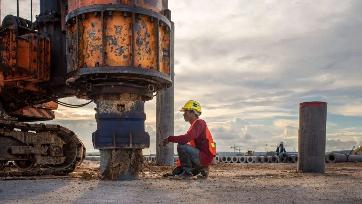
How long does a MASW survey take on site?
A single MASW line on a typical Whitby lot takes about ninety minutes to two hours for setup, shooting, and breakdown. Two-line surveys run a half-day. Data processing and the engineering report take an additional three to five working days.
Can MASW be done on paved surfaces or in winter?
Yes. We shoot through asphalt and concrete using geophones with base plates coupled to the pavement with petroleum gel. Winter surveys run as long as the ground is frozen enough to prevent the geophone spikes from seating in mud. Frozen surface layers increase near-surface velocity slightly, and we account for that in the inversion.
Which NBCC site class does Whitby typically fall into?
There is no single answer for Whitby. Sites on thick Halton Till north of the 401 often fall into Class C with VS30 between 360 and 500 m/s. Closer to the lake, where glaciolacustrine silts and sands dominate, Class D below 350 m/s is common. We measure each site individually because the till-shale interface depth and the presence of buried sand lenses change over short distances.