Across Whitby, many project delays trace back to incorrect assumptions about overburden. The Oak Ridges Moraine and glacial Lake Iroquois deposits left a mix of silt till, sand stringers, and occasional boulders north of the 401 corridor. We open exploratory test pits to expose these layers directly—no proxy signals, just the material itself. A machine-excavated trench to 3.5 or 4.5 metres lets our geotechnical engineer log stratigraphy, measure in-situ density with a nuclear gauge, and extract undisturbed block samples for triaxial strength evaluation. For subdivisions near Pringle Creek or the waterfront, where groundwater percolates through sandy seams, we often pair the pit program with a grain-size analysis to verify drainage potential before footing design begins. Ontario Building Code compliance under Part 4 requires confirmatory subgrade inspection; a well-located pit delivers that certainty in a single day of fieldwork.
Direct visual logging in Whitby till uncovers sand lenses and cobble zones that borehole logs routinely miss.
Technical details of the service in Whitby
Typical technical challenges in Whitby
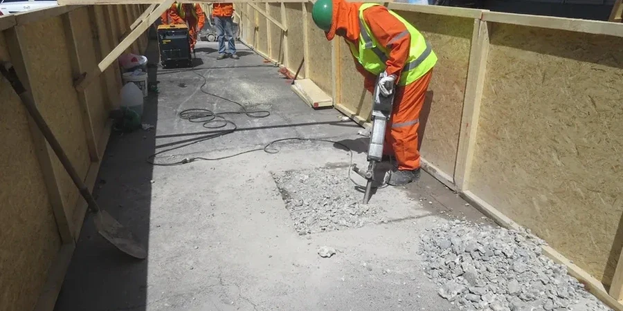
Whitby winters introduce a risk window that southern Ontario contractors know well. Frozen crust down to 0.6 or 0.9 metres can mask soft subgrade underneath; excavating through frost without recognising the transition to unfrozen till often leads to compaction failures in spring. Our team schedules pit work between March and November where possible, and when winter excavation is unavoidable we use a hydraulic hammer attachment to break frozen ground while logging the thermal boundary as a separate stratum. Groundwater is the second variable—late March snowmelt elevates the water table across the Lynde Creek watershed, turning silt seams into slurry. Running a sand cone density test in saturated conditions gives falsely low readings, so we defer field density testing until the pit drains or switch to alternative verification. The trench stability risk is managed by the box system, but in sandy units below the water table we also keep a trash pump running and limit open-pit time to under four hours per location.
Our services
We keep our test pit service practical and integrated with the lab and design workflow. Everything from the initial locate request to the final photography log stays under one project file.
Machine-Excavated Test Pit
Complete service from utility clearances through excavation, shoring, logging, sampling, and restoration. We handle Whitby's municipal locate process and provide a stamped field report with cross-section sketches.
Combined Pit and Lab Package
Pit program plus priority lab testing—moisture content, grain-size distribution, Atterberg limits, and triaxial on selected samples. All results compiled in a single geotechnical data report with recommendations for bearing capacity and settlement.
Frequently asked questions
How much does an exploratory test pit program cost for a typical Whitby residential lot?
For a standard program of two pits to 3.5 metres depth on a single-family lot, including utility locates, excavation, logging, and one round of lab testing, budgets typically range from CA$740 to CA$1,100. The spread depends on access constraints, groundwater conditions, and the number of samples submitted to the lab.
How do you handle groundwater seepage inside the test pit?
We manage seepage with a trash pump placed in a sump corner. In sandy units common in Whitby's glacial outwash, we dewater continuously during logging and sampling. If the inflow rate is high enough to destabilise the pit walls, we log in short intervals and advance the trench box as we go.
Can a test pit replace a borehole for a foundation design submission?
It depends on the project scale and the municipality's requirements. For Part 9 small buildings and shallow footings on competent till, a pit program with bearing verification is often accepted. Larger structures or deep foundations typically require boreholes with SPT data because you need information below the pit depth limit. We recommend the right approach once we review your site grading plan.