The contrast in overburden between Whitby’s lakeshore communities and the upland developments north of the 401 is stark. Near the waterfront, thick glaciolacustrine clays and silts blanket the bedrock, while the Oak Ridges Moraine deposits to the north introduce interbedded sand and gravel lenses that make depth-to-rock highly variable. A drilling program alone can miss these lateral changes. We run seismic tomography surveys that map the interface between loose overburden and competent bedrock, giving you a continuous profile rather than point data. The method works well even in the suburban corridors where truck-mounted rigs have limited access. For deep infrastructure or structures with tight settlement tolerances, this geophysical approach adds a layer of certainty that standard boreholes cannot match on their own.
A continuous velocity cross-section reveals paleochannels and weathered troughs that a 15-metre borehole grid would miss entirely.
Technical details of the service in Whitby
Typical technical challenges in Whitby
Much of Whitby’s post-war subdivision boom occurred on farmland underlain by the same till and glaciolacustrine deposits that now require careful excavation support. Older neighbourhoods south of Dundas Street sit on up to 20 metres of soft clay that amplifies ground motion and complicates shallow footing design. Skipping a geophysical baseline means accepting an interpolated bedrock surface between boreholes that may be five or ten metres off reality—enough to drive a massive change order when the excavator hits refusal early, or worse, does not hit it at all where expected. The Ontario Building Code references site-specific seismic site classification, and a refraction survey provides the shear-wave velocity proxy needed to confirm Class C, D, or E without drilling to rock at every location.
Our services
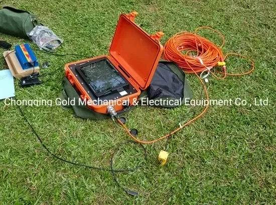
Our Whitby seismic program covers two survey configurations that address the most common local site characterization needs.
Seismic refraction tomography
We lay out a 115- or 230-metre spread with 5-metre geophone spacing, record 5 to 7 shot points per spread, and invert the travel-time data to produce a continuous P-wave velocity section. This is the standard method for mapping top-of-rock, estimating rippability, and identifying low-velocity infill zones in the overburden.
Seismic reflection profiling
For deeper targets below 40 metres or where a layered stratigraphic image is needed, we switch to a reflection acquisition geometry with a higher fold and tighter receiver spacing. Post-stack time migration resolves bedding planes within the Lindsay Formation limestone and the underlying shale units that control regional groundwater flow paths.
Frequently asked questions
What does a refraction survey in Whitby typically cost?
A single-line refraction survey with 24 geophones and full processing runs between CA$3,520 and CA$6,560, depending on the spread length, number of shot points, and whether we are working on pavement or soft ground. A 48-channel spread or reflection acquisition costs more. Every quote includes mobilization within the Durham Region, field time, tomographic inversion, and a signed report with the velocity cross-section.
Can you do a survey on a busy street in downtown Whitby?
Yes, with traffic control. We use a triggered weight-drop source that avoids the noise and permitting issues of explosives. The crew works between peak hours, and we coordinate lane closures with the Town’s transportation department when the spread crosses arterial roads like Brock or Dundas Street.
How deep can you see with seismic refraction here?
Depth of penetration depends on the spread length and the velocity contrast. With a 115-metre spread we typically resolve features down to 15–20 metres; a 230-metre spread reaches 35–40 metres. In Whitby’s glacial terrain, the strong velocity jump from saturated till to limestone gives a clear refractor, so the bedrock surface is usually well-defined within the top 25 metres.
What deliverables do we get after the survey?
You receive the raw SEG-2 field files, picked first-arrival times, a tomographic velocity cross-section in PDF and DXF formats, and a technical memo that interprets the results in terms of rippability, depth to rock, and seismic site class per NBCC 2020. We include a comparison table if the line was calibrated against a nearby borehole or CPT sounding. More info.